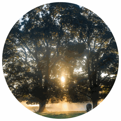
New study reveals carbon stocks of 10 billion trees, may revolutionize forest monitoring on a global scale
March 16, 2023 | Environmental Lab
In a collaboration with NASA, the University of Copenhagen, and involving the French National Institute of Agricultural Research (INRAE), a newly developed monitoring method was able to capture the characteristics of an estimated 9.9 billion trees in sub-Saharan Africa, including the quantity of their stored carbon estimated at 0.84 billion tonnes.
The method uses high spatial resolution imagery (50 cm) combined with artificial intelligence (AI) and field data. Information obtained include:
Structural parameters of trees (such as height, crown area, and biomass)
Carbon stock associated with wood, leaves, and roots
Density, cover, size, and mass of the carbon stored.
“This study is exceptional because it is pioneering a type of approach that will revolutionize the monitoring of trees and forests on a global scale: in the short term, it will be possible to map the world's trees from the center of the Amazon to our schoolyards. Many fields of application will become much more efficient and accurate, such as tracking carbon stocks, biodiversity, monitoring logging, and protection against illegal forest degradation, in near real-time.”, says Jean-Pierre Wigneron, INRAE researcher at the Soil-Plant-Atmosphere Interactions Joint Research Unit and one of the co-authors of the study.
The database is now available for public access and contains data on nearly 10 billion trees. Some significant information includes the wood mass, foliage mass, root mass, and carbon stock of the tree species. With this information, scientists, decision-makers, agronomists, and foresters working on dryland restoration, but also for farmers may benefit and use the data to estimate and value the carbon stocks of the trees on the land they farm.
"This study opens a new dimension in forest monitoring... and many others will follow. This is truly unique in the field of remote sensing. The [next goal includes] a combination of very high-resolution remote sensing and AI will ensure the mapping of forests in many regions of the world (such as Europe and Africa), with unprecedented accuracy and a resolution of 1 to 10 meters," says Philippe Ciais, a CEA researcher at the Laboratory for Sciences of Climate and Environment who took part in this study.